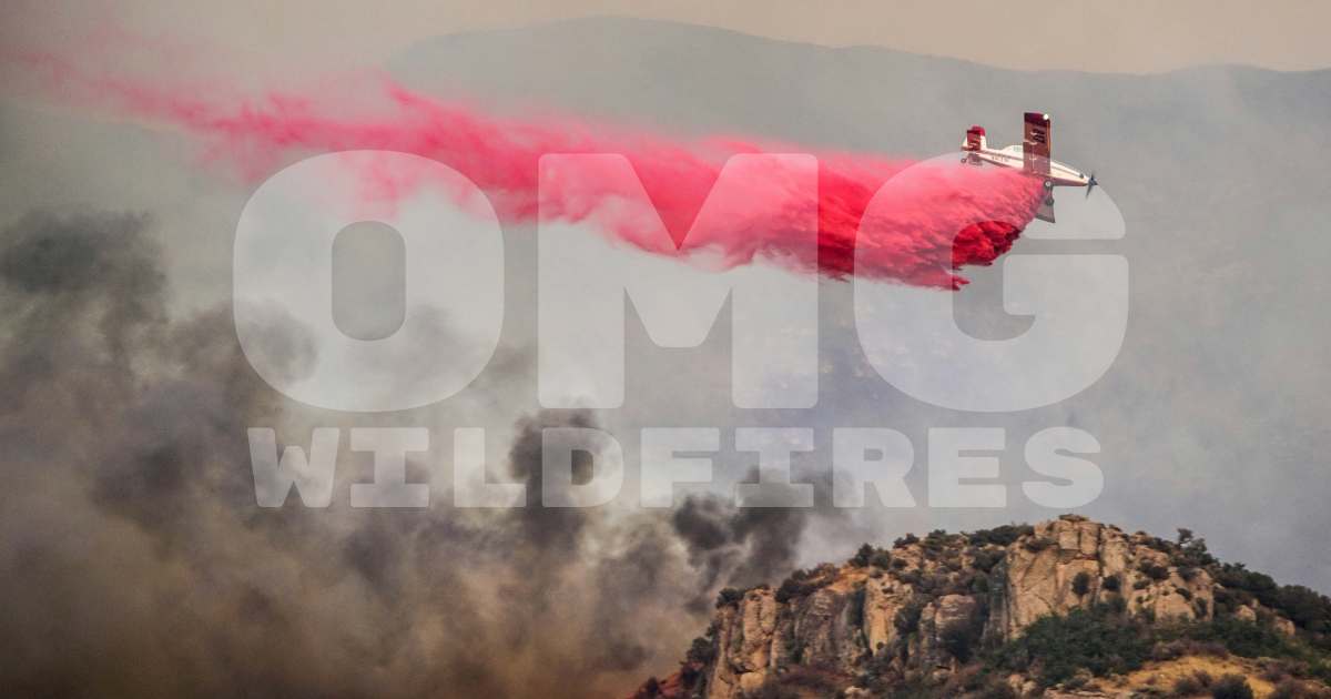
Screenshots
Media Assets & Screenshots
High-resolution screenshots and media assets for press coverage. Right-click to save images.
Main OMG Wildfires Map Interface
Alternative Map View
OMG Wildfires Logo (High Resolution)
Wildfire
Smoke
Clean Air
Dirty Air
High-resolution screenshots and media assets for press coverage. Right-click to save images.
Main OMG Wildfires Map Interface
Alternative Map View
OMG Wildfires Logo (High Resolution)
OMG Wildfires makes wildfire and air quality data accessible to everyone through the universal language of emojis.
Climate change is fueling larger, fiercer and more frequent wildfires – blanketing skies in smoke and triggering air quality alerts. OMG Wildfires addresses the urgent need for engaging resources that spark conversations about wildfires and air quality issues.
In 2023, a record number of wildfires across Canada sent thick smoke to American cities hundreds of miles away, triggering air quality alerts and health warnings to more than 100 million people.
Everything you need to know about OMG Wildfires for press coverage
OMG Wildfires is an innovative wildfire and air quality map that everyone can understand. Climate change is fueling larger, fiercer and more frequent wildfires. In 2023, a record number of wildfires across Canada sent thick smoke to American cities hundreds of miles away, triggering air quality alerts and health warnings to more than 100 million people. OMG Wildfires addresses the urgent need for engaging resources that spark conversations about wildfires and air quality issues.
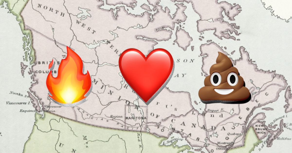
NASA's satellites are zooming around Earth day and night, with special sensors onboard to spot fires. The fire emojis on OMG Wildfires mark areas where NASA's VIIRS satellites have detected fires with either nominal or high confidence. The satellites have a 375-meter resolution which means the fire emojis on OMG Wildfires map give a reliable indication of fire presence, though not the precise location. This data on OMG Wildfires is updated daily.
The heart emoji means the air quality is good (AQI ≤ 50), while the poop emoji means the air quality does not meet the US Environmental Protection Agency's standard for "clean air". This data on OMG Wildfires is updated daily through AirNow.
Wildfires produce lots of smoke that travels with the wind. The gray streaks on the map show smoke levels from the National Oceanic and Atmospheric Administration (NOAA). The shades of gray represent three levels of smoke intensity. This data is not real-time. It shows smoke conditions from the previous day because the data is manually reviewed by experts at the NOAA to ensure accuracy.
Wildfire smoke can be quite harmful to your health, especially if you're exposed to it for long periods. The danger comes from tiny particles called "fine particulate matter" or PM2.5, which are so small they can get deep into your lungs and even enter your bloodstream.
Air quality data for OMG Wildfires is accessed through AirNow, a partnership of the U.S. Environmental Protection Agency, NOAA, National Park Service, and other agencies that provides real-time air quality information.
OMG Wildfires was created by Amrit Sharma (@amrit_sharma), a data journalist and air quality advocate based in Toronto. Amrit is passionate about making air quality, wildfire and climate change data accessible for everybody. A few years ago, he went viral in India for asking President Obama to wear a face mask in Delhi due to the city's hazardous air quality.
For media inquiries, interviews, or additional information, please contact:
Amrit Sharma
Creator, OMG Wildfires
Email: [email protected]
Twitter: @amrit_sharma
LinkedIn: linkedin.com/in/amritsharma
This map is intended for educational and awareness purposes only. It should not be relied upon for making fire safety decisions. Always follow the guidance of local authorities and emergency services.
Help spread awareness about OMG Wildfires.